Project Summary
In North Carolina, flooding poses a hazard to state forests, private farms and forests, houses and buildings, public infrastructure and dams. Partly as a consequence of flooding experienced in the state, the North Carolina legislature created the Natural Infrastructure Flood Mitigation Program within NC DEQ’s Division of Mitigation Services (DMS), incorporating flood storage capacity enhancement projects into the division’s activities. However, DMS lacked data on floodwater storage capacity in natural floodplain wetlands in North Carolina.
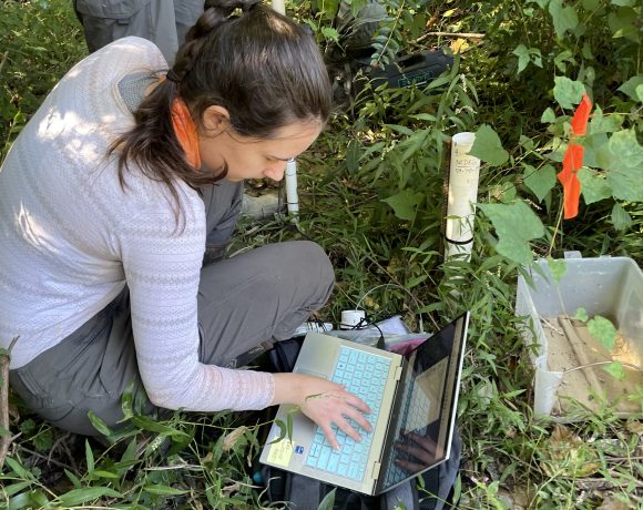
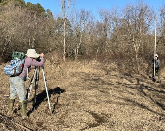
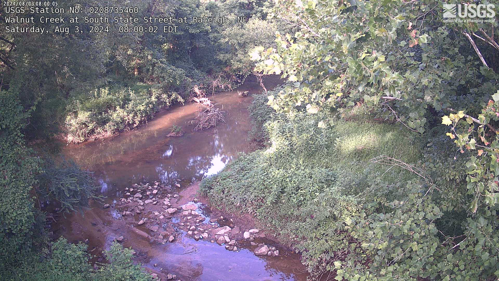
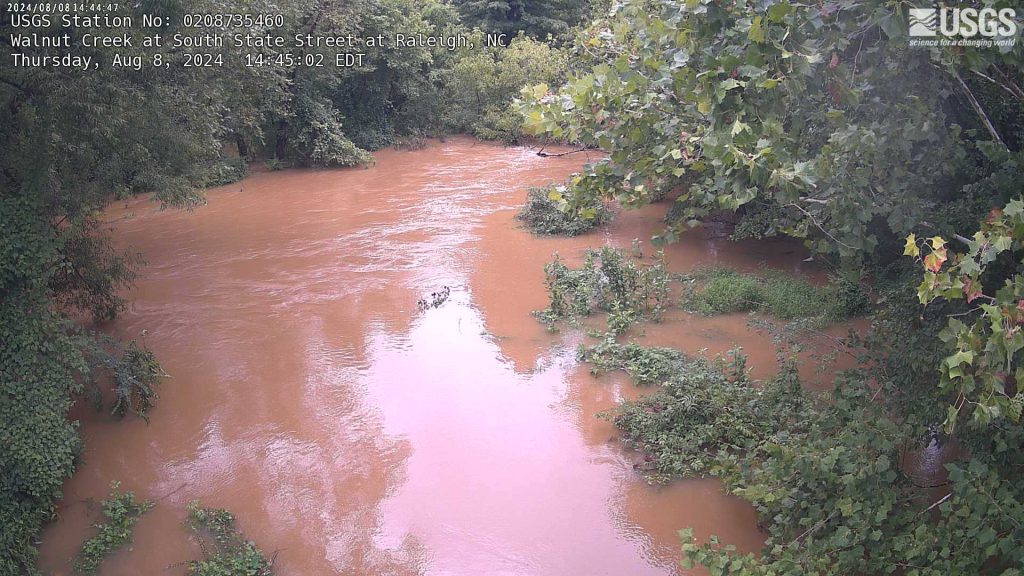
This project is an effort to provide accurate information from natural flooded wetlands to ensure realistic predictions of possible outcomes from wetland restoration projects in urban settings, where they are most needed. NC Division of Water Resources’ wetland science team is intensively studying five natural wetlands connected to Walnut Creek in urban Raleigh to estimate: 1) the volume of flood storage provided by natural floodplain wetlands in urban watersheds, 2) the period of flood attenuation for each flooding event, and 3) flooding extent and volumes estimated using multispectral drone imagery and LIDAR data. Results will be used to estimate flood storage capacity of all wetlands along Walnut Creek. DMS is expected to use the data produced from this project to inform their efforts in flood storage capacity enhancement projects. Data will also be potentially incorporated into DMS’s Flood Resiliency Blueprint, which is a statewide initiative to develop an online-decision support tool and associated planning to address flooding for communities in North Carolina’s river basins.
This project is underway and expected to be completed around 2026.
This work was funded by the EPA Region 4 under CD 02D16922 with matching funds from the NC Department of Environmental Quality.


